File:Map of Ohio highlighting Ashtabula County.PNG
No higher resolution available.
Map_of_Ohio_highlighting_Ashtabula_County.PNG (500 × 544 pixels, file size: 57 KB, MIME type: image/png)
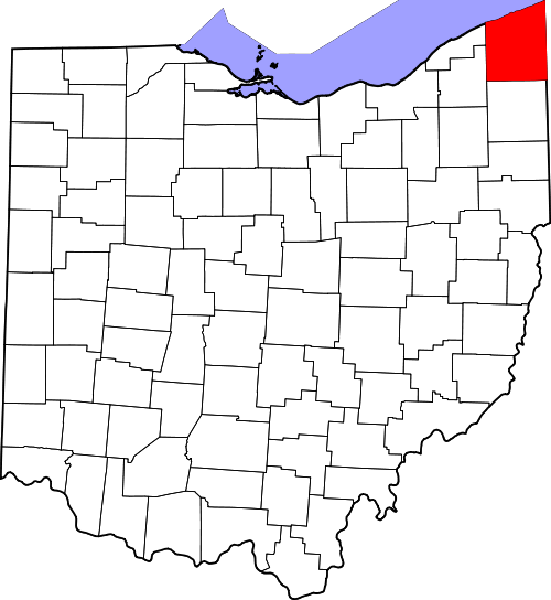
Map of Ohio highlighting Ashtabula County
File history
Click on a date/time to view the file as it appeared at that time.
| Date/Time | Thumbnail | Dimensions | User | Comment | |
|---|---|---|---|---|---|
| current | ★ Approved revision 09:25, 16 August 2011 | | 500 × 544 (57 KB) | Jenson1 (talk | contribs) | Map of Ohio highlighting Ashtabula County |
You cannot overwrite this file.
File usage
There are no pages that use this file.