File:MA WORCESTER.PNG
No higher resolution available.
MA_WORCESTER.PNG (259 × 254 pixels, file size: 35 KB, MIME type: image/png)
Summary[edit | edit source]
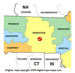
Map courtesy of Digital-Topo-Maps.com. Copyright 2005.
Licensing[edit | edit source]
 |
This image is under copyright by the owner, Digital-Topo-Maps and is used by permission under the condition that the copyright is listed and attribution is given. This work is not subject to any Creative Commons license. |
File history
Click on a date/time to view the file as it appeared at that time.
| Date/Time | Thumbnail | Dimensions | User | Comment | |
|---|---|---|---|---|---|
| current | ★ Approved revision 23:03, 5 October 2018 | | 259 × 254 (35 KB) | Kmmarshall (talk | contribs) | Typo correction |
| 22:53, 5 October 2018 |  | 259 × 254 (35 KB) | Kmmarshall (talk | contribs) | Map courtesy of [https://www.digital-topo-maps.com/county-map/massachusetts.shtml Digital-Topo-Maps.com]. Copyright 2005.<br> Category:Massachusetts Maps Category:Worcester County, Massachusetts | |
| 12:36, 28 September 2018 |  | 259 × 254 (32 KB) | Stais (talk | contribs) | Map courtesy of [https://www.digital-topo-maps.com/county-map/massachusetts.shtml Digital-Topo-Maps.com]. Copyright 2005.<br> Category:Massachusetts Maps Category:Worcester County, Massachusetts |
You cannot overwrite this file.
File usage
The following file is a duplicate of this file (more details):
.PNG)
The following 2 pages use this file: