File:Daraa districts.PNG
No higher resolution available.
Daraa_districts.PNG (409 × 532 pixels, file size: 61 KB, MIME type: image/png)
Summary
| Description |
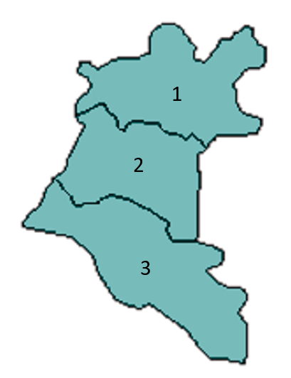
Blank map of Daraa's districts. |
|---|---|
| Author | |
| Source |
https://en.wikipedia.org/wiki/File:Daraa_blank_districts.png |
| Date |
9 May 2007 |
| Permission |
See license tag below. |
Licensing
| This file is licensed under the Creative CommonsAttribution-Share Alike 3.0 Unported license. | ||
|
File history
Click on a date/time to view the file as it appeared at that time.
| Date/Time | Thumbnail | Dimensions | User | Comment | |
|---|---|---|---|---|---|
| current | ★ Approved revision 15:27, 10 February 2021 | | 409 × 532 (61 KB) | Amberannelarsen (talk | contribs) | {{Information | Description = Blank map of Daraa's districts. | Source = https://en.wikipedia.org/wiki/File:Daraa_blank_districts.png | Date = 9 May 2007 | Author = [https://en.wikipedia.org/wiki/User:Anas_Salloum Anas] | Permission = }} Category:Syria |
You cannot overwrite this file.
File usage
The following 3 pages use this file: