File:Iowa Decatur Map.png
No higher resolution available.
Iowa_Decatur_Map.png (800 × 524 pixels, file size: 62 KB, MIME type: image/png)
Summary
| Description |
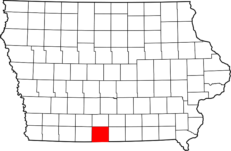
Decatur County, Iowa Map | ||
|---|---|---|---|
| Author |
David Benbennick | ||
| Source |
Wikimedia Commons | ||
| Date |
12 February 2006 | ||
| Permission |
|
Licensing
|
|
I, the copyright holder of this work, hereby release it into the public domain. This applies worldwide. In case this is not legally possible, I grant any entity the right to use this work for any purpose, without any conditions, unless such conditions are required by law. |
File history
Click on a date/time to view the file as it appeared at that time.
| Date/Time | Thumbnail | Dimensions | User | Comment | |
|---|---|---|---|---|---|
| current | ★ Approved revision 08:01, 9 April 2013 | | 800 × 524 (62 KB) | StandingVE (talk | contribs) | {{Information | Description = Decatur County, Iowa Map | Source = Wikimedia Commons | Date = 12 February 2006 | Author = David Benbennick | Permission = {{PD-author|David Benbennick}} }} |
You cannot overwrite this file.
File usage
The following page uses this file: