File:Brede Locator Map.PNG
No higher resolution available.
Brede_Locator_Map.PNG (242 × 314 pixels, file size: 31 KB, MIME type: image/png)
Summary
| Description |
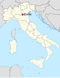
Brede Locator Map |
|---|---|
| Author |
See Metadata below |
| Source | |
| Date |
See Metadata below |
| Permission |
See license tag below. |
Licensing
| This file is licensed under the Creative Commons Attribution-Share Alike 2.0 Generic license. | ||
|
File history
Click on a date/time to view the file as it appeared at that time.
| Date/Time | Thumbnail | Dimensions | User | Comment | |
|---|---|---|---|---|---|
| current | ★ Approved revision 11:43, 4 October 2016 | | 242 × 314 (31 KB) | Katieliston (talk | contribs) | {{Information |Description =Brede Locator Map |Source =https://sh.wikipedia.org/wiki/Brede,_Mantova |Date = See Metadata below |Author = See Metadata below |Permission = }} |
You cannot overwrite this file.
File usage
The following page uses this file: