File:Map of Ohio highlighting Mahoning County.PNG: Difference between revisions
(Map_of_Ohio_highlighting_Mahoning_County) |
m (information box) |
||
| Line 1: | Line 1: | ||
Map_of_Ohio_highlighting_Mahoning_County | Map_of_Ohio_highlighting_Mahoning_County | ||
{{Information | |||
| Description = Map_of_Ohio_highlighting_Mahoning_Co | |||
| Source = Lee Hawkins | |||
| Date = 8/15/2011 | |||
| Author = Public Domain WIKI | |||
| Permission = Has the right to distribute | |||
}} | |||
Revision as of 09:44, 16 August 2011
Map_of_Ohio_highlighting_Mahoning_County
| Description |
Map_of_Ohio_highlighting_Mahoning_Co |
|---|---|
| Author |
Public Domain WIKI |
| Source |
Lee Hawkins |
| Date |
8/15/2011 |
| Permission |
Has the right to distribute |
File history
Click on a date/time to view the file as it appeared at that time.
| Date/Time | Thumbnail | Dimensions | User | Comment | |
|---|---|---|---|---|---|
| current | ★ Approved revision 09:42, 16 August 2011 | 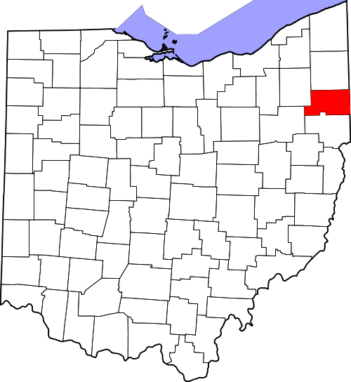 | 500 × 544 (58 KB) | Jenson1 (talk | contribs) | Map_of_Ohio_highlighting_Mahoning_County |
You cannot overwrite this file.
File usage
The following page uses this file: