File:Map of Ohio highlighting Trumbull County.PNG: Difference between revisions
(Map of Ohio highlighting Trumbull County) |
No edit summary |
||
| (2 intermediate revisions by 2 users not shown) | |||
| Line 1: | Line 1: | ||
Map of Ohio highlighting Trumbull County | Map of Ohio highlighting Trumbull County {{Information | ||
| Description = Map of Ohio highlighting Trumbull County | |||
| Source = Lee Hawkins, http://commons.wikimedia.org/wiki/File:Map_of_Ohio_highlighting_Trumbull_County.svg | |||
| Date = 8/15/2011 | |||
| Author =David Benbennick | |||
| Permission = Has the right to distribute | |||
}} | |||
[[Category:Trumbull_County,_Ohio]] | |||
[[Category:Locator maps of Ohio]] | |||
Latest revision as of 13:26, 24 January 2019
Map of Ohio highlighting Trumbull County
| Description |
Map of Ohio highlighting Trumbull County |
|---|---|
| Author |
David Benbennick |
| Source |
Lee Hawkins, http://commons.wikimedia.org/wiki/File:Map_of_Ohio_highlighting_Trumbull_County.svg |
| Date |
8/15/2011 |
| Permission |
Has the right to distribute |
File history
Click on a date/time to view the file as it appeared at that time.
| Date/Time | Thumbnail | Dimensions | User | Comment | |
|---|---|---|---|---|---|
| current | ★ Approved revision 10:34, 16 August 2011 | 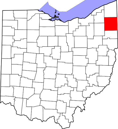 | 500 × 544 (58 KB) | Jenson1 (talk | contribs) | Map of Ohio highlighting Trumbull County |
You cannot overwrite this file.
File usage
The following page uses this file: