Template:VA Franklin: Difference between revisions
(Template, Clickable Boundry Map) |
Brepouille (talk | contribs) m (Added Category per WA) |
||
| (One intermediate revision by one other user not shown) | |||
| Line 6: | Line 6: | ||
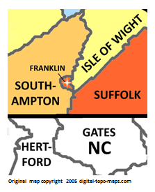
poly 11 165 78 164 89 181 77 201 77 214 137 238 142 256 15 254 28 205 48 193 48 193 [[Hertford County, North Carolina Genealogy|Hertford County]] | poly 11 165 78 164 89 181 77 201 77 214 137 238 142 256 15 254 28 205 48 193 48 193 [[Hertford County, North Carolina Genealogy|Hertford County]] | ||
#<!-- Created by Online Image Map Editor (http://www.maschek.hu/imagemap/index) --> | #<!-- Created by Online Image Map Editor (http://www.maschek.hu/imagemap/index) --> | ||
desc none | |||
</imagemap> | </imagemap> | ||
<noinclude>[[Category:Image map templates]]</noinclude> | <noinclude>[[Category:Image map templates]][[Category:VA Image map templates]][[Category:Templates for places]]</noinclude> | ||
Latest revision as of 15:10, 8 July 2020