File:Georgia Decatur County Map.png: Difference between revisions
m (category) |
No edit summary |
||
| Line 10: | Line 10: | ||
{{self|cc-zero}} | {{self|cc-zero}} | ||
[[Category:Georgia Maps]] | [[Category:Georgia Maps]] | ||
[[Category:Locator maps of Georgia]] | |||
Latest revision as of 13:10, 22 January 2019
Summary[edit | edit source]
| Description |
Decatur County, Georgia Map | ||
|---|---|---|---|
| Author |
David Benbennick | ||
| Source |
Wikimedia Commons | ||
| Date |
12 February 2006 | ||
| Permission |
|
Licensing[edit | edit source]
|
File history
Click on a date/time to view the file as it appeared at that time.
| Date/Time | Thumbnail | Dimensions | User | Comment | |
|---|---|---|---|---|---|
| current | ★ Approved revision 22:09, 6 April 2013 | 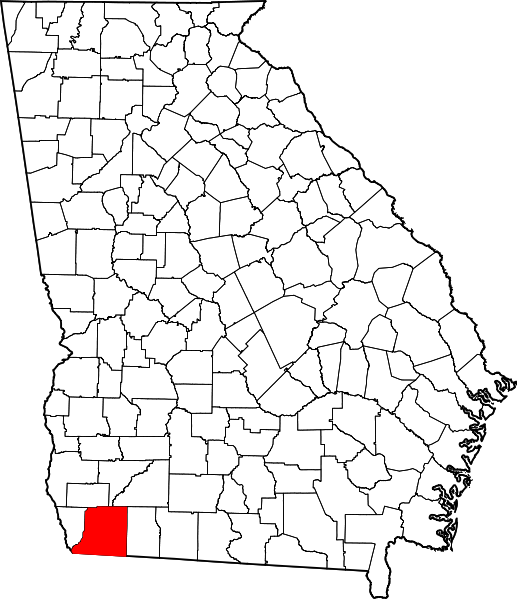 | 517 × 599 (110 KB) | MarkhamMJ (talk | contribs) | {{Information | Description = Decatur County, Georgia Map | Source = Wikimedia Commons | Date = 12 February 2006 | Author = David Benbennick | Permission = {{PD-author|David Benbennick}} }} |
You cannot overwrite this file.
File usage
The following page uses this file: