File:Wisconsinterritory.PNG: Difference between revisions
(Added information and link) |
(updated license) |
||
| Line 1: | Line 1: | ||
Map of the Wisconsin Territory 1836 - 1848 | {{Information | ||
|Description=English: Map of the Wisconsin Territory 1836 - 1848 | |||
|Date=Unknown | |||
|Source=Wiki Commons: http://commons.wikimedia.org/wiki/File:Wisconsinterritory.PNG | |||
|Author= Unknown | |||
|Permission=See below. | |||
}} {{Cc-by-sa-3.0}} | |||
Revision as of 15:28, 28 July 2011
| Description |
English: Map of the Wisconsin Territory 1836 - 1848 |
|---|---|
| Author |
Unknown |
| Source |
Wiki Commons: http://commons.wikimedia.org/wiki/File:Wisconsinterritory.PNG |
| Date |
Unknown |
| Permission |
See below. |
| This file is licensed under the Creative CommonsAttribution-Share Alike 3.0 Unported license. | ||
|
File history
Click on a date/time to view the file as it appeared at that time.
| Date/Time | Thumbnail | Dimensions | User | Comment | |
|---|---|---|---|---|---|
| current | ★ Approved revision 10:07, 14 March 2009 | 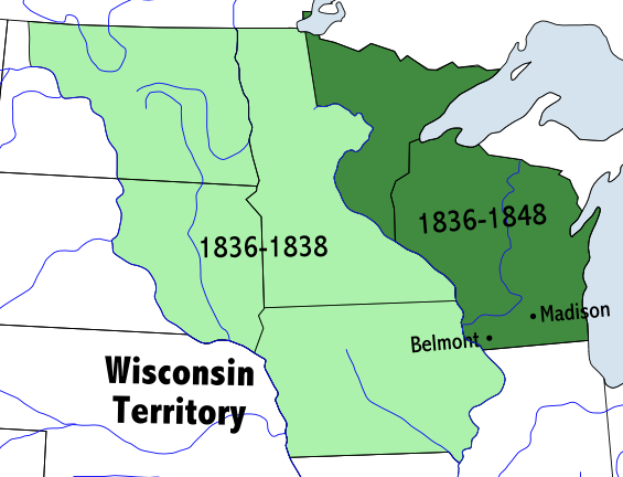 | 565 × 432 (62 KB) | Familyjournals (talk | contribs) | Map of the Wisconsin Territory 1836 - 1848 |
You cannot overwrite this file.
File usage
The following page uses this file: