Template:GA Terrell County: Difference between revisions
m (Text replacement - "desc none desc none desc none desc none" to "desc none") |
Bethcottam (talk | contribs) (clickable boundary map) |
||
| (4 intermediate revisions by the same user not shown) | |||
| Line 7: | Line 7: | ||
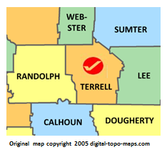
poly 26 66 16 100 5 103 10 121 19 131 10 138 13 143 103 143 107 131 101 106 93 106 92 60 25 66 [[Randolph County, Georgia Genealogy|Randolph County]] | poly 26 66 16 100 5 103 10 121 19 131 10 138 13 143 103 143 107 131 101 106 93 106 92 60 25 66 [[Randolph County, Georgia Genealogy|Randolph County]] | ||
#<!-- Created by Online Image Map Editor (http://www.maschek.hu/imagemap/index) --> | #<!-- Created by Online Image Map Editor (http://www.maschek.hu/imagemap/index) --> | ||
</imagemap><noinclude>[[Category:Image map templates]]</noinclude> | </imagemap><noinclude>[[Category:Image map templates]]</noinclude> | ||
Revision as of 10:34, 8 January 2019