File:Barber, Kansas.JPG: Difference between revisions
(Map courtesy of [https://www.digital-topo-maps.com/county-map/kansas.shtml/ Digital-Topo-Maps.com]. Copyright 2005. Category:Kansas Maps Category: County) |
mNo edit summary |
||
| Line 2: | Line 2: | ||
Map courtesy of [https://www.digital-topo-maps.com/county-map/kansas.shtml/ Digital-Topo-Maps.com]. Copyright 2005. | Map courtesy of [https://www.digital-topo-maps.com/county-map/kansas.shtml/ Digital-Topo-Maps.com]. Copyright 2005. | ||
Category:Kansas Maps | [[Category:Kansas Maps]] | ||
Category: County | [[Category: County]] | ||
== Licensing == | == Licensing == | ||
{{Digital Topo Maps}} | {{Digital Topo Maps}} | ||
Revision as of 08:37, 13 September 2017
Summary[edit | edit source]
Map courtesy of Digital-Topo-Maps.com. Copyright 2005.
Licensing[edit | edit source]
 |
This image is under copyright by the owner, Digital-Topo-Maps and is used by permission under the condition that the copyright is listed and attribution is given. This work is not subject to any Creative Commons license. |
File history
Click on a date/time to view the file as it appeared at that time.
| Date/Time | Thumbnail | Dimensions | User | Comment | |
|---|---|---|---|---|---|
| current | ★ Approved revision 08:33, 13 September 2017 | 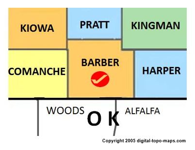 | 402 × 310 (25 KB) | Amberannelarsen (talk | contribs) | Map courtesy of [https://www.digital-topo-maps.com/county-map/kansas.shtml/ Digital-Topo-Maps.com]. Copyright 2005. Category:Kansas Maps Category: County |
You cannot overwrite this file.
File usage
The following page uses this file: