Template:MOLaclede, Missouri Clickable Neighbors: Difference between revisions
m (Added map attributes; removed blank lines) |
m (Text replace - "County, Missouri|" to "County, Missouri Genealogy|") |
||
| (One intermediate revision by one other user not shown) | |||
| Line 1: | Line 1: | ||
<imagemap> | <imagemap> | ||
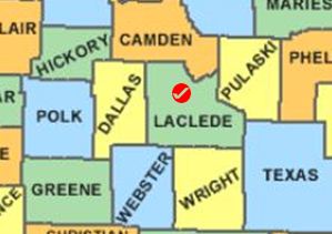
Image:MOLaclede.JPG | Image:MOLaclede.JPG | ||
poly 85 53 129 56 131 128 100 129 99 143 84 142 [[Dallas County, Missouri Genealogy|Dallas County]] | poly 85 53 129 56 131 128 100 129 99 143 84 142 [[Dallas County, Missouri Genealogy|Dallas County]] | ||
poly 19 114 18 166 -1 164 0 113 [[Dade County, Missouri Genealogy|Dade County]] | poly 19 114 18 166 -1 164 0 113 [[Dade County, Missouri Genealogy|Dade County]] | ||
| Line 23: | Line 23: | ||
desc none | desc none | ||
</imagemap> | </imagemap> | ||
<noinclude> | <noinclude> | ||
__NORICHEDITOR__ | __NORICHEDITOR__ | ||
[[Category:Image_map_templates]] | [[Category:Image_map_templates]] | ||
Revision as of 20:25, 5 February 2015
__NORICHEDITOR__