Template:MODade, Missouri Clickable Neighbors: Difference between revisions
m (Removing blank lines; testing results) |
Jabecenti80 (talk | contribs) No edit summary |
||
| (17 intermediate revisions by 5 users not shown) | |||
| Line 1: | Line 1: | ||
<imagemap> | <imagemap> | ||
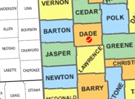
Image: | Image:MODade.jpg | ||
poly | poly 329 7 414 13 424 108 336 112 [[Polk County, Missouri|Polk County]] | ||
poly | poly 290 -1 292 12 339 8 340 0 [[St. Clair County, Missouri|St. Clair County]] | ||
poly | poly 238 0 241 78 334 74 326 7 293 10 288 -1 [[Cedar County, Missouri|Cedar County]] | ||
poly | poly 254 243 344 241 343 268 354 270 355 324 258 324 [[Barry County, Missouri|Barry County]] | ||
poly 325 | poly 345 220 399 219 401 265 409 267 411 325 359 324 356 267 350 264 [[Stone County, Missouri|Stone County]] | ||
poly | poly 412 262 442 260 443 324 413 325 [[Taney County, Missouri|Taney County]] | ||
poly | poly 419 -1 442 -1 443 107 426 108 [[Dallas County, Missouri|Dallas County]] | ||
poly | poly 339 -1 339 11 420 13 417 -1 [[Hickory County, Missouri|Hickory County]] | ||
poly | poly 343 195 443 189 443 261 405 263 400 221 344 223 [[Christian County, Missouri|Christian County]] | ||
poly | poly 242 78 331 75 337 148 244 149 [[Dade County, Missouri|Dade County]] | ||
poly | poly 336 148 343 238 256 244 254 153 [[Lawrence County, Missouri|Lawrence County]] | ||
poly | poly 239 60 241 138 133 138 131 70 [[Barton County, Missouri|Barton County]] | ||
poly | poly 338 112 443 107 443 187 346 191 [[Greene County, Missouri|Greene County]] | ||
poly | poly 250 214 252 154 243 153 240 144 138 139 139 213 [[Jasper County, Missouri|Jasper County]] | ||
poly | poly 137 218 252 212 254 287 145 292 [[Newton County, Missouri|Newton County]] | ||
poly | poly 235 0 240 62 131 63 124 -1 [[Vernon County, Missouri|Vernon County]] | ||
poly | poly 56 1 56 63 126 58 125 2 [[Linn County, Kansas|Linn County]] | ||
poly | poly 54 -1 55 62 0 65 2 7 [[Anderson County, Kansas|Anderson County]] | ||
poly 0 | poly -1 65 56 63 60 121 -1 124 [[Allen County, Kansas|Allen County]] | ||
poly | |||
poly | poly 16 324 14 280 18 279 17 275 0 272 0 325 [[Nowata County, Oklahoma|Nowata County]] | ||
poly | poly 18 271 72 266 81 275 84 325 16 325 [[Craig County, Oklahoma|Craig County]] | ||
poly 74 266 138 265 141 325 84 325 84 276 [[Ottawa County, Oklahoma|Ottawa County]] | |||
poly 64 192 68 266 -1 268 -1 195 [[Neosho County, Kansas|Neosho County]] | |||
poly 66 200 134 196 139 262 70 264 [[Cherokee County, Kansas|Cherokee County]] | |||
poly 130 131 135 197 64 200 65 190 60 190 61 134 [[Crawford County, Kansas|Crawford County]] | |||
poly 58 63 127 59 131 128 62 133 [[Bourbon County, Kansas|Bourbon County]] | |||
poly 146 324 143 291 252 288 256 324 [[McDonald County, Missouri|McDonald County]] | |||
desc none | desc none | ||
</imagemap> | </imagemap> | ||
<noinclude> | <noinclude> | ||
__NORICHEDITOR__ | __NORICHEDITOR__ | ||
[[Category:Image_map_templates]] | |||
[[Category:Image_map_templates]] | |||
Revision as of 12:47, 18 March 2014
__NORICHEDITOR__