| Display title | File:Micronesia Area Map.PNG |
| Default sort key | Micronesia Area Map.PNG |
| Page length (in bytes) | 708 |
| Namespace | File |
| Page ID | 18278 |
| Page content language | en - English |
| Page content model | wikitext |
| Indexing by robots | Disallowed |
| Number of redirects to this page | 0 |
| Hash value | addc4048068a21e6a3269af9c33ecc7db16f5475 |
| Page image | 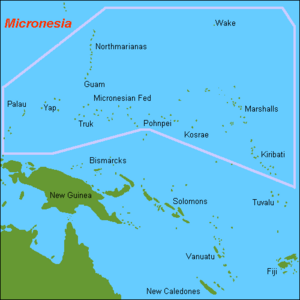 |
| Edit | Allow all users (infinite) |
| Move | Allow all users (infinite) |
| Upload | Allow all users (infinite) |
| Page creator | DiltsGD (talk | contribs) |
| Date of page creation | 15:50, 16 August 2008 |
| Latest editor | Hanna5974 (talk | contribs) |
| Date of latest edit | 20:59, 8 September 2015 |
| Total number of edits | 4 |
| Total number of distinct authors | 3 |
| Recent number of edits (within past 90 days) | 0 |
| Recent number of distinct authors | 0 |
Description | Content |
Article description: (description)
This attribute controls the content of the description and og:description elements. | Description: Map of the Pacific Ocean Countries in Micronesia area including Guam, Kiribati, Marshall Islands, Nauru, Northern Mariana Islands, Palau, and the Federated States of Countries in Micronesia. |
