File:US Locator Map Texas Bexar.PNG
No higher resolution available.
US_Locator_Map_Texas_Bexar.PNG (668 × 597 pixels, file size: 60 KB, MIME type: image/png)
Summary
| Description |
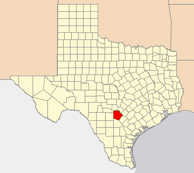
Locator map of Bexar, Texas | |||||
|---|---|---|---|---|---|---|
| Author | ||||||
| Source |
Own work | |||||
| Date |
2 August 2016 | |||||
| Permission |
|
File history
Click on a date/time to view the file as it appeared at that time.
| Date/Time | Thumbnail | Dimensions | User | Comment | |
|---|---|---|---|---|---|
| current | ★ Approved revision 15:07, 2 August 2016 | | 668 × 597 (60 KB) | Katieliston (talk | contribs) | Locator map of Bexar, Texas. Created by katieliston 2 August 2016. |
You cannot overwrite this file.
File usage
The following 2 pages use this file: