File:US Locator Map Missouri Ralls.PNG
No higher resolution available.
US_Locator_Map_Missouri_Ralls.PNG (648 × 559 pixels, file size: 51 KB, MIME type: image/png)
Summary
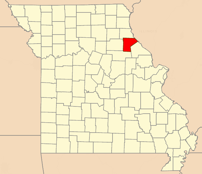
Locator map of Ralls, Missouri. Created by katieliston 18 July 2016.
Licensing
| This file is licensed under the Creative Commons Attribution-Share Alike 3.0 Unported, 2.5 Generic, 2.0 Generic and 1.0 Generic license. | ||
|
File history
Click on a date/time to view the file as it appeared at that time.
| Date/Time | Thumbnail | Dimensions | User | Comment | |
|---|---|---|---|---|---|
| current | ★ Approved revision 11:56, 18 July 2016 | | 648 × 559 (51 KB) | Katieliston (talk | contribs) | Locator map of Ralls, Missouri. Created by katieliston 18 July 2016. |
You cannot overwrite this file.
File usage
The following page uses this file: