File:Saint Lucia location map.png
No higher resolution available.
Saint_Lucia_location_map.png (475 × 599 pixels, file size: 38 KB, MIME type: image/png)
Summary[edit | edit source]
| Description |
de |
|---|---|
| Author |
U |
| Source |
Own, using |
| Date |
2009-12-17 |
| Permission |
OpenStreetMap |
File history
Click on a date/time to view the file as it appeared at that time.
| Date/Time | Thumbnail | Dimensions | User | Comment | |
|---|---|---|---|---|---|
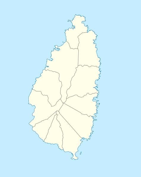
| current | ★ Approved revision 14:03, 20 May 2016 | | 475 × 599 (38 KB) | Murphynw (talk | contribs) | == {{int:filedesc}} == {{Information |Description= {{de|Positionskarte von St. Lucia}} Geographische Begrenzung der Karte: * N: 14.15° N * S: 13.66° N * W: 61.16° W * O: 60.76° W {{en|Location map of [[:en:Saint Lucia|Saint Lucia]... |
You cannot overwrite this file.
File usage
The following 2 pages use this file: