File:SD EDMUNDS.JPG
No higher resolution available.
SD_EDMUNDS.JPG (489 × 390 pixels, file size: 32 KB, MIME type: image/jpeg)
Summary[edit | edit source]
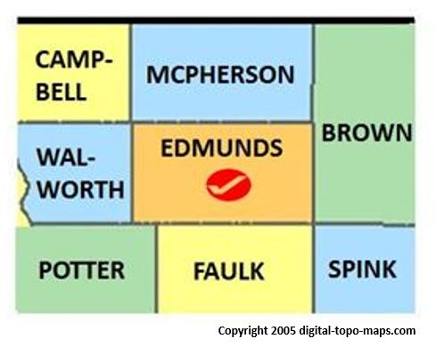
Map courtesy of Digital-Topo-Maps.com. Copyright 2005.
Licensing[edit | edit source]
 |
This image is under copyright by the owner, Digital-Topo-Maps and is used by permission under the condition that the copyright is listed and attribution is given. This work is not subject to any Creative Commons license. |
File history
Click on a date/time to view the file as it appeared at that time.
| Date/Time | Thumbnail | Dimensions | User | Comment | |
|---|---|---|---|---|---|
| current | ★ Approved revision 08:02, 14 October 2017 | | 489 × 390 (32 KB) | Djheaven (talk | contribs) | Map courtesy of [https://www.digital-topo-maps.com/county-map/kansas.shtml/ Digital-Topo-Maps.com]. Copyright 2005.<br> Category:South Dakota Maps<br> Category: Edmunds County, South Dakota<br> |
| 08:26, 15 May 2015 | 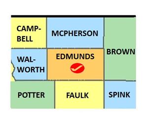 | 294 × 251 (19 KB) | Claudiaj64 (talk | contribs) | Category:Edmunds County, South Dakota Category: South Dakota _Maps |
You cannot overwrite this file.
File usage
The following 2 pages use this file: