File:OH MARION.PNG
No higher resolution available.
OH_MARION.PNG (235 × 226 pixels, file size: 20 KB, MIME type: image/png)
Summary[edit | edit source]
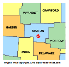
Map courtesy of [1]. Copyright 2005.
Licensing[edit | edit source]
 |
This image is under copyright by the owner, Digital-Topo-Maps and is used by permission under the condition that the copyright is listed and attribution is given. This work is not subject to any Creative Commons license. |
File history
Click on a date/time to view the file as it appeared at that time.
| Date/Time | Thumbnail | Dimensions | User | Comment | |
|---|---|---|---|---|---|
| current | ★ Approved revision 19:28, 15 November 2018 | | 235 × 226 (20 KB) | Bethcottam (talk | contribs) | Map courtesy of [https://www.digital-topo-maps.com/county-map/ohio.shtml]. Copyright 2005.<br> Category:Ohio Maps Category:Marion County, Ohio |
| 19:02, 15 November 2018 |  | 235 × 226 (20 KB) | Bethcottam (talk | contribs) | <imagemap>Image:OH_MAHONING.PNG|250px poly 173 16 240 15 245 94 169 86 167 15 Mercer County poly 172 152 169 79 241 86 240 149 170 146 Lawrence County poly 70 178 66... |
You cannot overwrite this file.
File usage
The following 2 pages use this file: