File:Mathews County Boundary Map.JPG
Size of this preview: 445 × 599 pixels. Other resolution: 680 × 915 pixels.
Original file (680 × 915 pixels, file size: 195 KB, MIME type: image/jpeg)
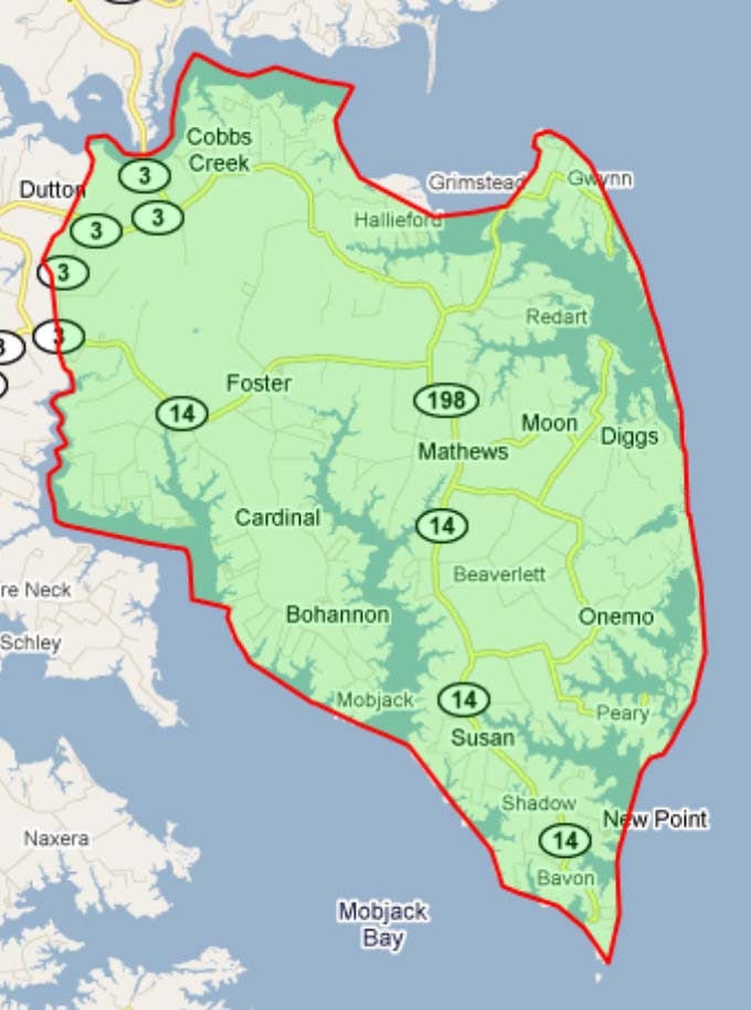
TITLE: Mathews County Boundary Map DATE: RIGHTS STATUS: Has the right to distribute DESCRIPTION: http://maps.huge.info/county.htm. Used with permission of John Coryat, USNaviguide LLC. WIKI: FamilySearch Wiki
File history
Click on a date/time to view the file as it appeared at that time.
| Date/Time | Thumbnail | Dimensions | User | Comment | |
|---|---|---|---|---|---|
| current | ★ Approved revision 11:51, 7 May 2010 | | 680 × 915 (195 KB) | Jane41 (talk | contribs) | TITLE: Mathews County Boundary Map DATE: RIGHTS STATUS: Has the right to distribute DESCRIPTION: http://maps.huge.info/county.htm. Used with permission of John Coryat, USNaviguide LLC. WIKI: FamilySearch Wiki |
You cannot overwrite this file.
File usage
There are no pages that use this file.