File:MA Middlesex Co Carlisle map.png
Size of this preview: 557 × 600 pixels. Other resolution: 947 × 1,020 pixels.
Original file (947 × 1,020 pixels, file size: 421 KB, MIME type: image/png)
| Description |
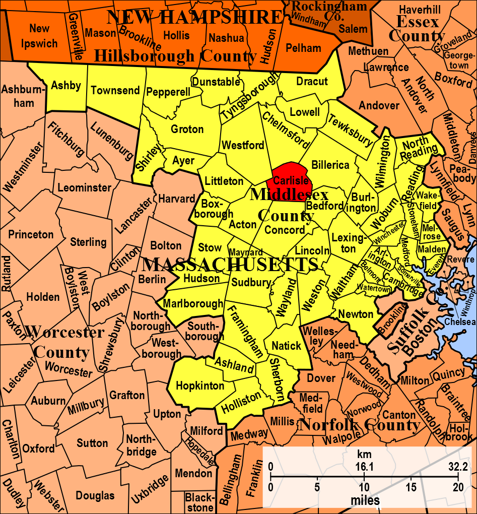
English: Town borders of Carlisle, Middlesex, Massachusetts, USA, on a map of Middlesex County. |
|---|---|
| Author |
DiltsGD, a FamilySearch Research Wiki user. |
| Source |
Own work, based on original in Michael J. Leclerc, Genealogist's Handbook for New England Research, 5th ed. (Boston, Mass.: New England Historic Genealogical Society, 2012), 182. At various libraries (WorldCat); FS Library Book 974 D27g 2012. |
| Date |
14 November 2012. |
| Permission |
See license tag below. |
|
File history
Click on a date/time to view the file as it appeared at that time.
| Date/Time | Thumbnail | Dimensions | User | Comment | |
|---|---|---|---|---|---|
| current | ★ Approved revision 15:01, 14 November 2012 | | 947 × 1,020 (421 KB) | DiltsGD (talk | contribs) | {{Information |Description='''English: ''' Town borders of Carlisle, Middlesex, Massachusetts, USA, on a map of Middlesex County. |Date=14 November 2012. |Source=Own work, based on original in Michael J. Leclerc, ''Genealogist's Handbook for New England |
You cannot overwrite this file.
File usage
The following 2 pages use this file: