File:Hull1866 Map.jpg
No higher resolution available.
Hull1866_Map.jpg (796 × 475 pixels, file size: 118 KB, MIME type: image/jpeg)
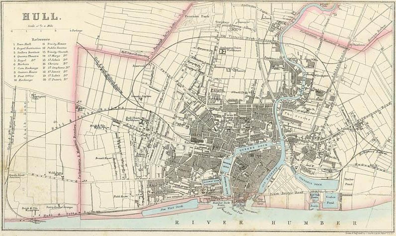
Map of Hull in England published by A. Fullarton & Co. in The Imperial Gazetteer of England & Wales (1866). See http://commons.wikimedia.org/wiki/File:Hull1866.jpg
File history
Click on a date/time to view the file as it appeared at that time.
| Date/Time | Thumbnail | Dimensions | User | Comment | |
|---|---|---|---|---|---|
| current | ★ Approved revision 12:22, 1 April 2010 | | 796 × 475 (118 KB) | Naisbittrl (talk | contribs) | Map of Hull in England published by A. Fullarton & Co. in The Imperial Gazetteer of England & Wales (1866). See http://commons.wikimedia.org/wiki/File:Hull1866.jpg |
You cannot overwrite this file.
File usage
There are no pages that use this file.