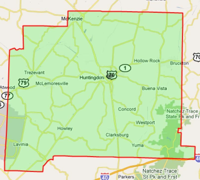
File:Carroll County Boundary Map.JPG
Size of this preview: 666 × 600 pixels. Other resolution: 806 × 726 pixels.
Original file (806 × 726 pixels, file size: 176 KB, MIME type: image/jpeg)
TITLE: Carroll County Boundary Map DATE: RIGHTS STATUS: Has the right to distribute DESCRIPTION: http://maps.huge.info/county.htm. Used with permission of John Coryat, USNaviguide LLC. WIKI: FamilySearch Wiki
File history
Click on a date/time to view the file as it appeared at that time.
| Date/Time | Thumbnail | Dimensions | User | Comment | |
|---|---|---|---|---|---|
| current | ★ Approved revision 09:48, 26 May 2010 | | 806 × 726 (176 KB) | Jane41 (talk | contribs) | TITLE: Carroll County Boundary Map DATE: RIGHTS STATUS: Has the right to distribute DESCRIPTION: http://maps.huge.info/county.htm. Used with permission of John Coryat, USNaviguide LLC WIKI: FamilySearch Wiki |
| 08:54, 29 April 2010 | 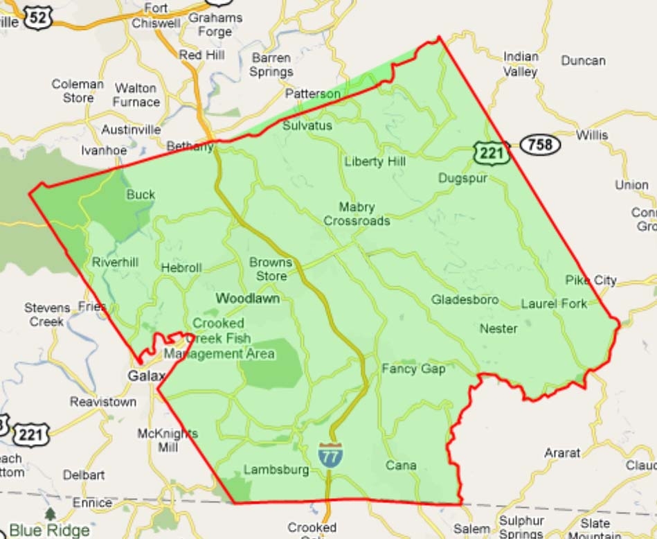 | 949 × 778 (256 KB) | Jane41 (talk | contribs) | TITLE: Carroll County Boundary Map DATE: RIGHTS STATUS: Has the right to distribute DESCRIPTION: http://maps.huge.info/county.htm. Used with permission of John Coryat, USNaviguide LLC. WIKI: FamilySearch Wiki |
You cannot overwrite this file.
File usage
There are no pages that use this file.