File:CT Middlesex Co towns map.png
Size of this preview: 554 × 599 pixels. Other resolution: 947 × 1,024 pixels.
Original file (947 × 1,024 pixels, file size: 213 KB, MIME type: image/png)
| Description |
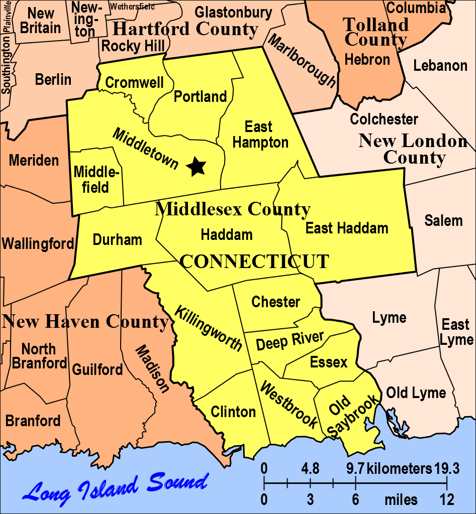
English: Map of modern city and town borders in Middlesex County, Connecticut. |
|---|---|
| Author |
Diltsgd (FamilySearch Research Wiki). |
| Source |
Own work, based on original in Michael J. Leclerc, Genealogist's Handbook for New England Research, 5th ed. (Boston, Mass.: New England Historic Genealogical Society, 2012), 34. At various libraries (WorldCat); FS Library Book 974 D27g 2012. |
| Date |
16 October 2012. |
| Permission |
See license tag below. |
|
File history
Click on a date/time to view the file as it appeared at that time.
| Date/Time | Thumbnail | Dimensions | User | Comment | |
|---|---|---|---|---|---|
| current | ★ Approved revision 08:26, 16 January 2013 | | 947 × 1,024 (213 KB) | DiltsGD (talk | contribs) | county seat star |
| 10:08, 16 October 2012 |  | 947 × 1,024 (212 KB) | DiltsGD (talk | contribs) | {{Information |Description='''English:''' Map of modern city and town borders in Middlesex County, Connecticut. |Date=16 October 2012. |Source=Own work, based on original in Michael J. Leclerc, ''Genealogist's Handbook for New England Research'', 5th ed |
You cannot overwrite this file.
File usage
There are no pages that use this file.