File:Bakkendrup Kirke.jpeg
No higher resolution available.
Bakkendrup_Kirke.jpeg (668 × 499 pixels, file size: 163 KB, MIME type: image/jpeg)
Summary[edit | edit source]
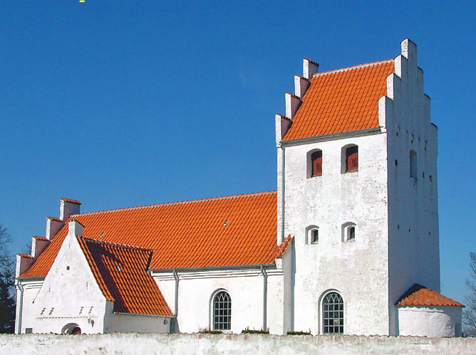
Camera location 55° 33′ 51.86″ N, 11° 14′ 37.79″ E Kartographer map based on OpenStreetMap. View this and other nearby images on: OpenStreetMap - Google Earth info Description Dansk: fra nord Date 29 October 2006 Source Own work Author Bococo
Licensing[edit | edit source]
| This file is licensed under the Creative CommonsAttribution-Share Alike 3.0 Unported license. | ||
|
File history
Click on a date/time to view the file as it appeared at that time.
| Date/Time | Thumbnail | Dimensions | User | Comment | |
|---|---|---|---|---|---|
| current | ★ Approved revision 17:58, 16 April 2019 | | 668 × 499 (163 KB) | TannerBlairTolman (talk | contribs) | Camera location 55° 33′ 51.86″ N, 11° 14′ 37.79″ E Kartographer map based on OpenStreetMap. View this and other nearby images on: OpenStreetMap - Google Earth info Description Dansk: fra nord Date 29 October 2006 Source Own work Author Bococo |
You cannot overwrite this file.
File usage
There are no pages that use this file.